SBE Research Seminars | 18th January 2021
Crowdsourcing research:
Accessible Zaragoza and PEST Project
Thank you Tatiana for the invitation.
Since I joined Brookes very recently and I do not have the pleasure to know you, let me introduce myself before proceeding with the presentation.
Architect. PhD Urban Sociology. Researcher. Activist. Life-long learner.
Carlos Cámara Menoyo
I pursue a positive impact on people’s lives through the shaping of physical and digital spaces.
I have focused on the topic of social and spatial inequities and collective-action to find ways in which cities can be more sustainable and egalitarian.
https://carloscamara.es/en | @drccamara
My name is Carlos Cámara and previously to joining brookes four months ago, I have been involved in plenty of diverse jobs, researches and initiatives, and I came to the conclusion that I what all of them had in common the pursue…
(next frag)
In order to do so, I have focused on…
In this talk I will talk about two projects that have two things in common. (NEXT)
Mobility
Going from A to B is not trivial at all!
Especially if you do not respond to a pattern of “normality” (e.g. 👩🦽 🧑🦯 🧍🏿♀️ 👬 )
…Or if there is a pandemic! 😷
The first one is mobility, which is not trivial aat all, especially…
which, coincidentaly, are the topics covered by the two projects.
Collaboration
In this case, crowdsourcing data gathering from a large and open group of people.
Castellers: "Castells" (Castles) wouldn't be possible without collective-action. Photo:
Reuters (Forgive me for the Catalan stereotype!)
(Part 1)
Accessible Zaragoza
“Accessible Zaragoza”, an action-research project on urban mobility which I designed and led while working as a lecturer at Universidad San Jorge in Spain.
The problem(s)
People with disabilities cannot be fully autonomous when moving within a city (especially in a foreign city).
Facing several types of exclusion, i.e.:
Physical : urban designTechnological : (lack of) specialized apps/services
Photo: Igor Rodrigues
The problem we wanted to address was that people with…
This is because people with disabilities have to face with multiple types of exclusion that include social barriers , Signs/symbols , regulations /other people’s behaviour etc?
But we wanted to address two types of exclusion. (NEXT)
A physical one, due to urban design and a technological one, due to lack of specific apps and services
Our Goal
The creation of a pilot to overcome those 2 problems.
Map capable of:
Assessing Zaragoza in terms of accessibility
Providing routing calculations for disabled people in order to improve their autonomy
Test a protocol/methodology
Our goal, then, was to create a pilot to overcome those 2 problems.
That should include a map and also test a protocol methodology.
This led us to take the following research decisions:
Research Design Decision 1:
Open and collaborative project
Political decision
Results should be used and shared by anyone if they are to be of any use
Citizenship has to be part of it
Pragmatic decision
Overcome our own limitations (staff, infrastructure, budget)
Reduce setup time
(Interval)
OpenStreetMap (OSM)
More specifically, this principle led us to use OSM, which would become a key decision that influenced all the project.
For that reason, I am going to make a brief break and explain what OSM is, so the rest of the presentation will be clearer.
(Interval)
OpenStreetMap (OSM)
AKA “The Wikipedia of the maps”
OSM is the biggest and most precise free/libre spatial database of the world
Collaborative approach (data, governance)Data Sharing (legally + technically): social return
This is what we seen when we visit openstreetmap.org. A regular map. Nothing special at this point, other than the information is added by volunteers and you may like it more or less than other commercial solutions.
But, in fact, there is much more that what we see! It is a (collaborative) spatial database
But it is much more than that! This is what we see when we edit the same place. As you can see, not only we can add, modify the geometry or add information, but there is much more information than that displayed on the map. This is because it is actually a geospatial database from where we can get and display any information as we want.
~7 million registered users (2020-11-23)
(~ 100 editing daily in Spain)
~ 6.5 billion nodes (2020-11-23)
(20.000 - 30.000 created every day in Spain)
Data under Open Database License (ODbL)
Source: OSM Wiki
In addition to being a spatial database it is also a community of people who regularly contribute to the map. I will not dive in to details, but at this point what it is important to know is that it is a worldwiide community and it is very big (huge!).
(Part 2)
Accessible Zaragoza
After this interval, let’s go back to where we were. I was explaining about the research decisions driving Accessible Zaragoza.
Research Design Decision 2:
Teaming up with others
To overcome individual limitations and get better results.
Our second research design was to team up with others to overcome our own limitations and get better results.
Geospatial Experts and Volunteers
Collaborative Mapping Technical knowledge, Data gathering organization, Research Design OpenStreetMap Local community: Data gathering Volunteers : Data gathering
Mapping party organized by Mapeado Colaborativo and Discapacitados Sin Fronteras Aragón.
Associations/Activists:
Expert knowledge about disabilities.
Discapacitados Sin Fronteras (NGO)
Mundo Crip (Association)
Ganchillo Social (Association)
We also teamed up with disability associations and activists. It is important to note that their role was that of experts in their field.
We wanted people to see them as experts to learn from, not as someone to pity, which sadly is quite commonplace in these kind of projects.
Public Administration:
Physical space for gathering, computers, mailing…
Civic Centers
City council (Zaragoza Activa)
The third group of stakeholders was made by civic centers and city council, which provided phsyiscal space for gathering, computers, newsletters and mailing lists.
Research Design Decision 3:
Type of data
Decide what kind of data do we gather
At this point, it was clear that we wanted to map problems like these ones. However, we were to decide what kind of data were we going to need.
We took two important decisions:
Target
We would (only) focus on:
Visual impariment
Mobility impairment
Ackowledge that there are different types of disabilities and each has it’s own needs. We could not cover all of them.
Be objective
As opposed to similar projects that focus only on problems, we would be looking for objective data describing the realiy.
E.g. We would describe if there is a tactile_paving, the existence of traffic lights with accouistic signals, the existence of kerbs (And if so, we would note their height), the width of pavement, it’s incline and smoothness… the presence of ramps, stairs…
Data Gathering and Publishing
Once those deicions were made we only need to gather data and the publish it so others can share it.
Simple, right? Well… not really.
Data gathering methods
Field work
2 different types:
A. Fieldwork made by research assistants (USJ)
Thanks to César Canalís (2016-17), Lourdes Pérez (2016-17) and Javier Claver (2018-2019)!
USJ's students taking notes on kerbs and tactile paving. Photo: Héctor Ochoa
The most conventional way to get the data was through the fieldwork made by research assistants as part of their job description.
{
B. Mapping parties
Festive events for data gathering, learning and raising awareness
The second mechanism was through mapping parties.
Mapping parties may be the most innovative part of the project. They consisted
1. Theoretical sessions on disabilities
Common problems
Examples
Discussion about urban design
Laura Moya (Mundo Crip) and her guide dog, Geniva, explaining how blind people move and orient themselves in the city.
2. Organization
Methodology
Creation of groups and areas to cover.
OSM expert (Stakeholder)
Disabilities expert (stakeholder)
Student
Volunteer
(Pen and paper, mostly)
You’d be surprised about how rudimentary (yet efficient) our methods were.
Through a series of iterations we ended up with the following method:
Publishing data
We upload data gathered to OSM
Collaborative Mapping session for uploading data gathered to OSM
Visualization
2 online maps, for two groups of disabilities:
sight
mobility
However, we realised that these types of maps could not be seen by an important group of people to whom we were supposed to wok for: visually impaired people.
Accessible base maps
Informed by literature review (Allan et al., 2019; Jenny & Kelso, 2007; Russell-Minda et al., 2007)
Protanopia and Deuteranopia
We made two different of accessible maps, aimed to different color blindness:
Combination red-yellow-green soft-blue allows them an adequate and understandable visualization.
Font that improves readibility -> typeface designed by American Printing House for the Blind, inc.
Tritanopia
black and white degraded depending on the use, making it easier for the user to read.
Font: OpenDyslexic
Integrating teaching and research
Attendance to mapping parties was compulsory for students from Universidad San Jorge
Part of the Urban Studies' curricula , which covered:
Social implications of urban design
Digital Tools (GIS, querying databases…)
Conchita Galve, from Discapacitados Sin Fronteras, sharing her experience on moving in a wheelchair in Zaragoza.
Part of the Urban Studies' curricula , which covered:
Aimed to future urban planners
Compulsory module
Social implications of urban design
Digital Tools (GIS, querying databases…)
Publications
Scholarly publications
Master theses (2)
Ongoing article
Raising awareness
As you can imagine, a group like that, with people in wheelchairs, cranes and others with yellow vests attracts a lot of attention.
A lot of people was interested by our work.
But not everything is about attendance. This oen for example was not organized by us in first instance. We were contacted by this organization who wanted to do a mapping party on their neighbourhood. This means that people started to feel the project as their own!
(unexpected outcome)
Grabación en directo de una Mapping Party. Foto: Carlos Cámara.
Aparición en periódico (Heraldo, 2017)
Changes in Zaragoza’s regulations (2019)
Urban design to be more sensitive to disabilities
Post-pandemic Equitable and Sustainable Transport (PEST)
Now, I’m going to talk about a different project I am involved with at Brookes (but here, as research assistant)
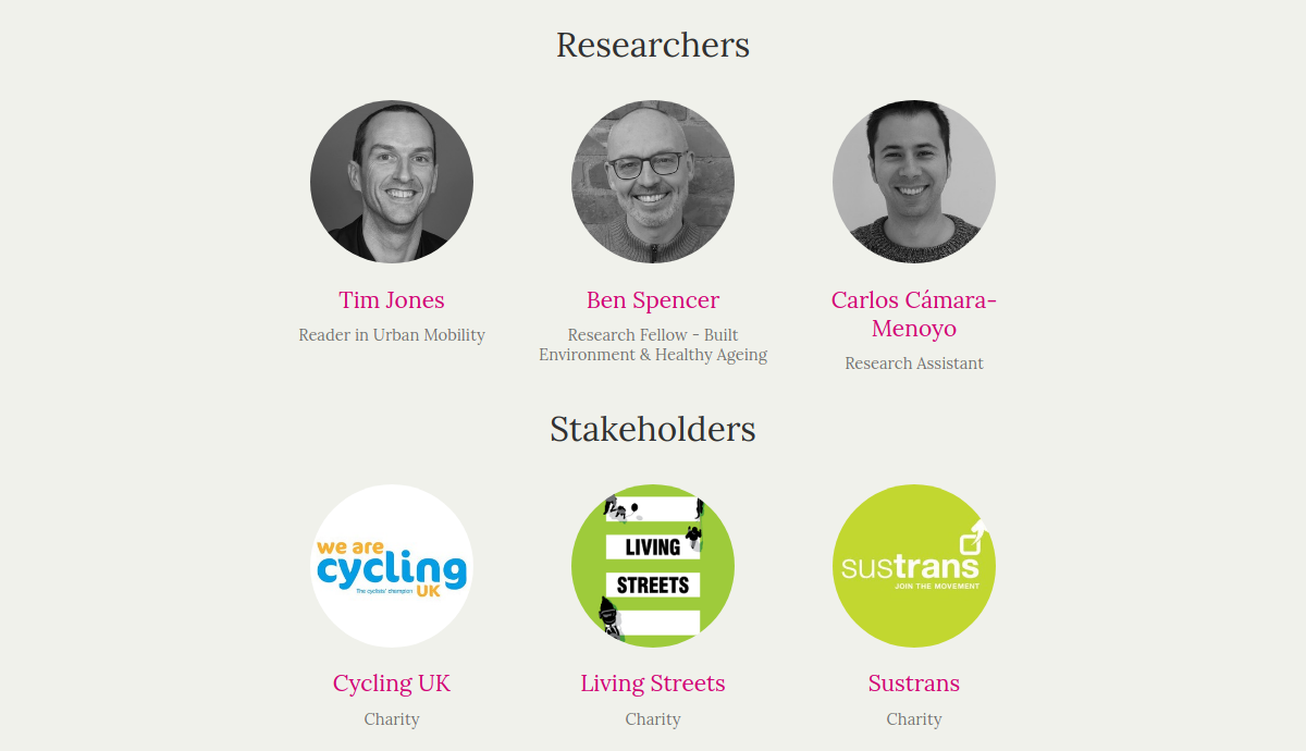
People
Dr Tim Jones (PI)
Dr Ben Spencer
Dr Carlos Cámara (Research Assistant)
Background:
Active Travel Funds (ATF)
DfT’s package to reallocate road space to encourage active travel (walking and cycling) across England to mitigate the impact of Covid-19 on local travel .
the Department for Transport announced a £250 million package to to reallocate road space to encourage active travel (walking and cycling) across England.
This was part of the Government’s measures to mitigate the impact of Covid-19 pandemic on local travel.
2 Phases
May 2020: supports the installation of temporary projects (£42 million)November 2020: supports the creation of longer-term projects (£150 million)
Just to give you an idea of the scale of the project, we are preparing visualizations such as this treemap, which displays how much has been allocated in different areas.
PEST’s Goals
Increase understanding of place-based policy and activity in relation to active travel in the aftermath of the Covid-19 pandemic
To understand and map what types of schemes are proposed and where .
To understand processes in terms of delivering the schemes and experiences of the case authorities
i.e. we are basically trying to find out whether they have been able to do what they said they wanted to do and why not - what’s worked and what hasn’t worked.
Gathering intelligence about ATF
ATF tracking
data request to DfT to obtain intelligence on the schemes that were awarded funds
online form targeted at local authorities who are in receipt of ATFdata provided by our stakeholders
The first one will consist of asking authorities about the schemes that were awarded funds. We will be do so, through:
a data request to DfT (Department For Transport)
Online form targeted at local authorities
data provided by our stakeholders
In depth-study cases
Lancaster, Leeds, Leicester, Oxford, Worcester → Based on previous research by Tim Jones (C. Pooley et al., 2011; C. G. Pooley et al., 2013)
To you , for your attention
To Tatiana Moreira , for the invitation and organization of the Research Seminars
To Tim Jones and Ben Spencer , for encouraging me to present here (and for being great colleagues!)